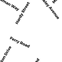
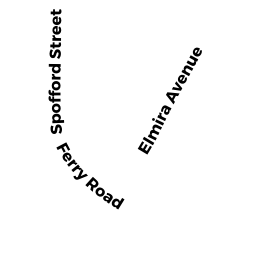
12-14 FERRY RD
Owner Information
CONDO MAIN
None
None, None None


Property Details
12-14 FERRY RD is classified as a Other, Open Space (Condominium).
The primary structure on this property was built in 2011. There are 2 units within this property.
12-14 FERRY RD is valued at 0. The land is valued at 0 and the structures are valued at 0.
This property is in Zone R2. Confirm with local Zoning Board authorities to ensure there are no overlays or other easements on this property.
Assessment data from fiscal year 2021.
Flood Data
According to the FEMA National Flood Hazard Layer, this property does not appear to be in a flood zone. It may also be in an area not yet reviewed. Nonetheless, confirm this information prior to taking any action.
To view the flood hazards around this property, create a FEMA "Firmette" Map of the area around 12-14 FERRY RD.
Broadband Internet Providers
| Provider | Type | Bandwidth (mbps) | |
|---|---|---|---|
| VSAT Systems, LLC. | Satellite | 2 | 1 |
| Viasat Inc | Satellite | 100 | 3 |
| Verizon New England Inc. | DSL | 5 | 0 |
| Comcast | Cable | 1000 | 35 |
| GCI Communication Corp. | Satellite | 0 | 0 |
| HughesNet | Satellite | 25 | 3 |
Broadband service provider data from December 2020.
Adjacent Properties
- 10 FERRY RD
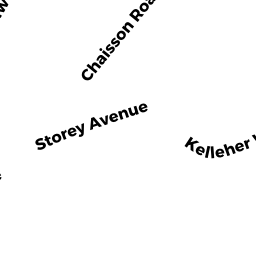
Single Family Residential owned by MARSHALL SCOTT - 15 MOSELEY AVE
Single Family Residential owned by SERWON FRANK - 13 MOSELEY AVE
Single Family Residential owned by EREKSON DAVID G & ELLEN TRS - 11 MOSELEY AVE
Single Family Residential owned by CHASE KATHLEEN S TRS - 18 FERRY RD
Single Family Residential owned by SCHACHT PETER C